Project Information
| Client: | Central Grampians LLEN |
| Project: | Cloud based interactive GIS map |
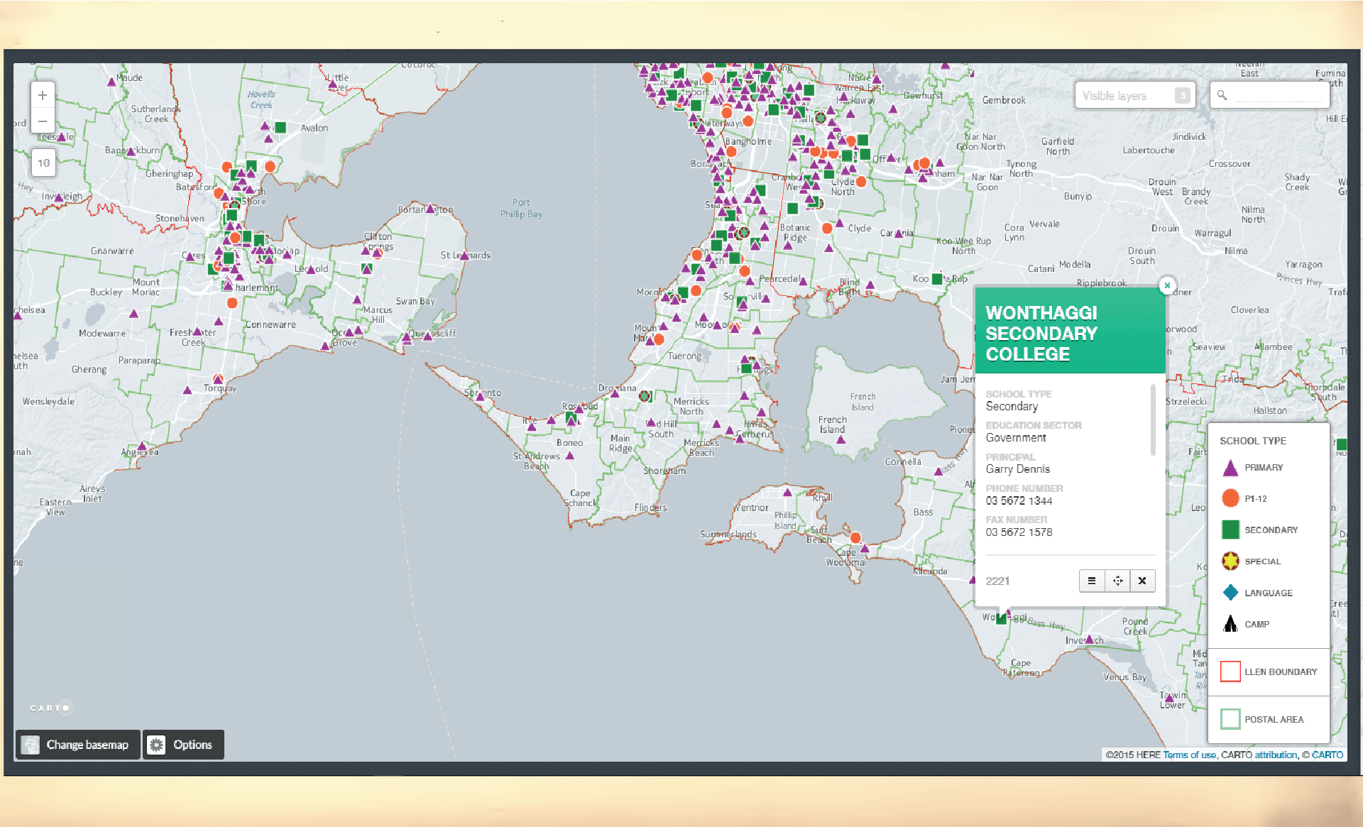
| Purpose: | To map Victorian Local Government Areas, Postcode boundaries, 31 LLEN boundaries, as well as LLEN offices, primary and secondary schools. The information can be viewed in different combinations by switching layers on and off. |
| Size: | Not applicable |
| Product: | Maps are viewed online |
.
.
.
.
.
.
.
.
.
.